Poucha Pond Reservation
Dog Policy
Size
154.7 acres
Description
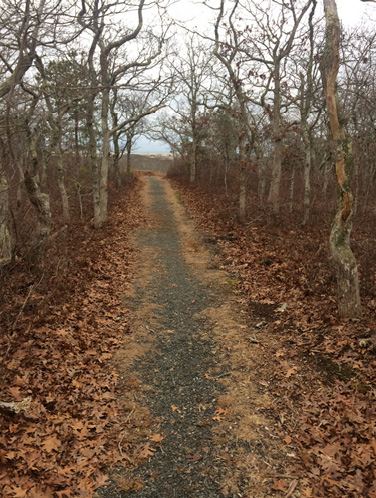
The sky plunges into view just a short walk from this property’s trailhead — the oaks part and grasslands slope down toward Poucha Pond. But sky vies for attention with water, notably the Nantucket Sound, where in the east the Nantucket Islands are visible. At the base of the hill is the Poucha Pond marsh, whose flatness is a visual juxtaposition from the aerie that hikers were enjoying just minutes earlier. This is a good place to spot herons and egrets feeding in the low saltmarsh.
Access
Trailhead and bicycle rack located on-site; turn left off the asphalt road 4.1 miles from the ferry slip.
Historical Highlights
- local farmers used the marsh here for cutting and selling salt hay for bedding and mulch; salt hay makes valuable mulch because it contains no weed seeds
Trail / Property Map
 File size: 3 MB
XlslandChappy trail current 2024
File size: 1 MB

